Intermediate/Difficult:
Length: 1.0 miles (about 45 min. loop)
Surface: dirt and sand. with roots and downed trees
Terrain: Steep Sections (227 ft. of gain /
average grade of 7%, and 17% max.)
Markers: none
Dogs allowed? leashed
Trailhead: near 879 Park Street or
Oval Beach back lot
Maps: (no printable map) / Hiking Project

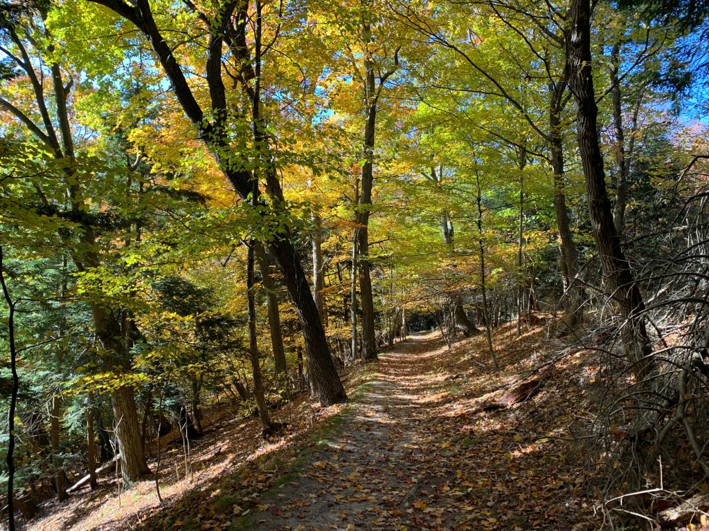
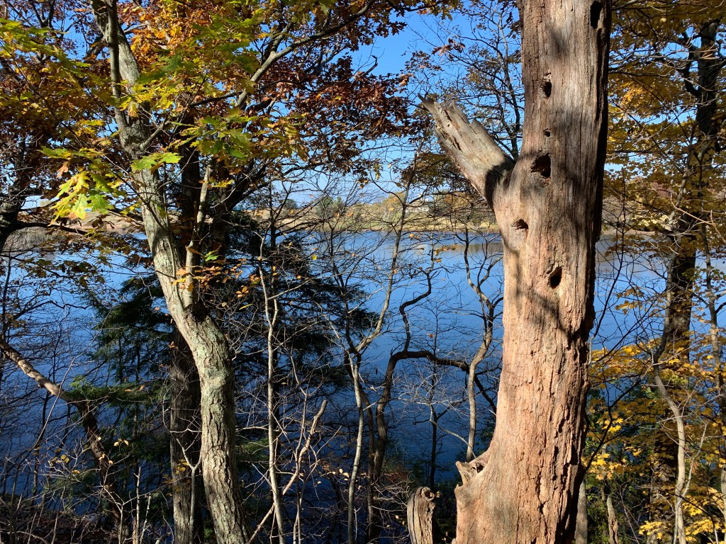
Description: This path is not advertised or marked. Park at the Mount Baldhead lot. The trail begins on an access road that turns west off of Park Street. Hike up the road to where there are gates on the left and right. Go around the righthand gate and head down the old road. The trail is easy to follow until you get down by the Oxbow. There you may want to use the GPS to navigate around the dunes and find the path up to the water tower.
Alternatively, park in the Oval Beach back lot and hike across the sand to pick up the trail.
Trail Management: City of Saugatuck

The trail was mostly hard-packed snow today. I was happy to have a trekking pole doing down some of the steeper spots. On the way up to the water tower there are some obstacles, but they’re easy to get around.
LikeLike